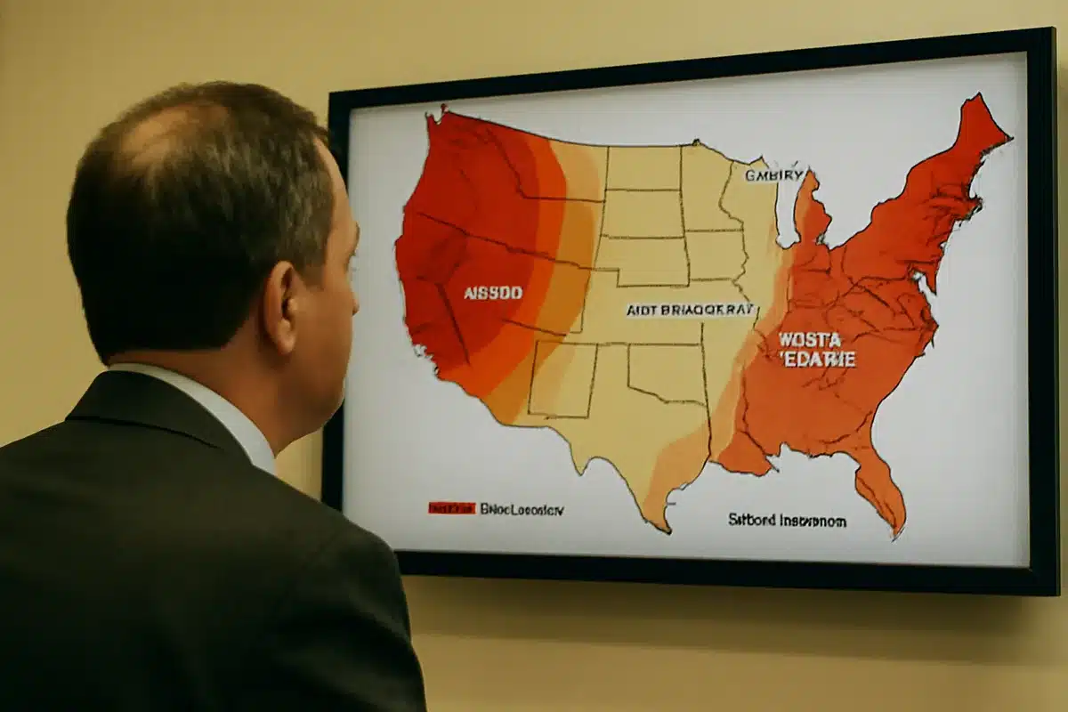
NOAA’s Climate Prediction Center has released a September 2026 weather forecast showing warmer-than-average temperatures across most of the United States, with above-normal conditions expected nearly everywhere except the far Northeast and Northwest. The map, released in late August and updated in early September, signals that summer weather patterns may persist into the fall season for much of the country.
According to the forecast released by The Hill on August 20, all but a handful of states are leaning toward hotter-than-normal temperatures between September and November. The Pacific Northwest shows the strongest probability for above-average weather, while a narrow band spanning Illinois, Indiana, Kentucky, Missouri, Ohio, Tennessee, and West Virginia represents a toss-up where conditions could be warm, cool, or average.
El Niño is the primary driver behind this warming pattern. NOAA forecasters reported on August 13 that the 2026-2027 El Niño event has greater than a 90% chance of reaching the highest strength level, often called a “super” El Niño. The climate phenomenon has been building since early summer and is expected to reach maximum strength in late fall or early winter, when it will have the strongest influence on weather patterns across North America.
Historically, El Niño produces distinct regional effects. According to The Hill’s reporting, the phenomenon typically brings warmer, dry weather to the northern United States and Ohio Valley, while the southern half of the country generally experiences wetter conditions with more rain and snow. Some of these patterns are already visible in the fall forecasts, particularly in the warm, dry Pacific Northwest and the wetter southern states shown in green on the precipitation outlook map.
Beyond temperature effects, El Niño is expected to influence other weather phenomena. According to The Hill, the strengthening El Niño is also suppressing hurricane activity in the Atlantic and contributing to more high-tide flooding on the West Coast. These broader impacts underscore why long-range forecasts like NOAA’s September outlook matter for planning and preparedness across multiple sectors.
The forecast released by Men’s Journal on September 2 noted that precipitation patterns will be mixed. While most of the U.S. is looking at average rainfall, the West and Northeast are expected to be wetter, while the central part of the country could see drier conditions. This split reflects the complex way El Niño reshapes weather patterns—not uniformly warm or wet, but regionally distinct.
For residents hoping to extend summer, the outlook offers good news: warmer-than-average temperatures across much of the country suggest that fall may feel more like a prolonged warm season than a sharp seasonal shift. However, the forecast is an outlook for overall tendencies rather than a guarantee of daily conditions, and regional variations will persist.
Sources
- The Hill — NOAA fall weather predictions released August 20, 2026, showing most of the country expected to see warmer-than-average weather between September and November, with El Niño context and regional details.
- Men’s Journal — NOAA’s updated September 2026 temperature and precipitation forecast released September 2, showing above-normal temperatures nearly everywhere except far Northeast and Northwest.