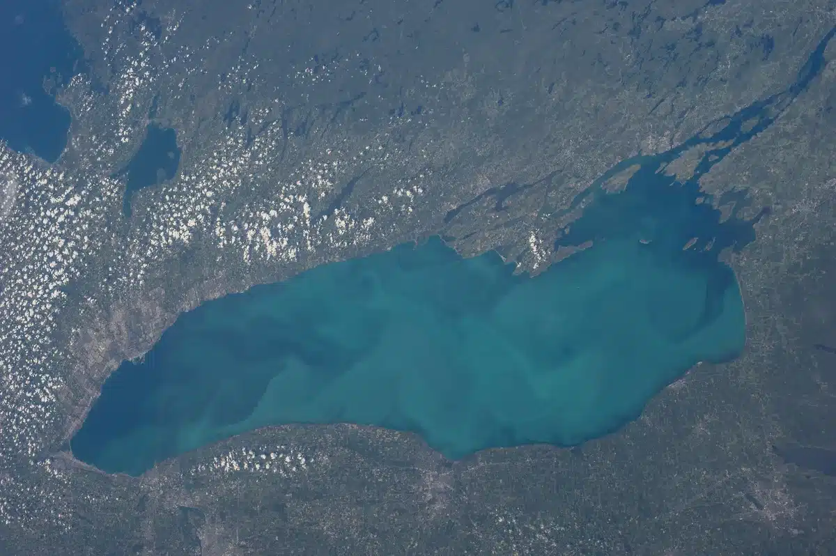
Lake Ontario water levels remain elevated above historical averages through August 2026, continuing a trend that began with heavy spring precipitation earlier this year. As of August 23, the lake-wide average water level stood at 75.24 meters (246.85 feet), according to the International Lake Ontario-St. Lawrence River Board, maintaining levels that have persisted since late spring.
The sustained high water stems from persistent precipitation across the region in spring 2026. From March 1 through April 30, water levels rose from 74.54 meters (244.55 feet) to 75.30 meters (247.05 feet), driven by heavy rainfall and snowmelt that fed into the lake and its tributary rivers. By late July, levels had climbed to 248.98 feet—28 inches above the same period in 2025 and 15 inches higher than the long-term average.

The International Joint Commission noted that Lake Ontario water levels rose a total of 0.76 meters (2.50 feet) in a two-month span, a significant jump that brought the lake to flood stage (247.3 feet) by early June 2026. Throughout summer, levels have remained stable or declined only modestly. A forecast issued August 14 predicted Lake Ontario would decline by approximately 8 inches through the following weeks, suggesting a gradual return toward more typical late-summer conditions.
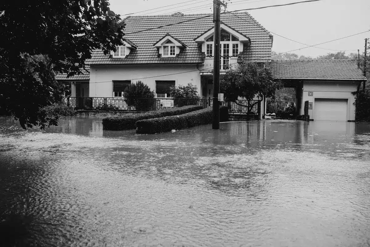
Elevated water levels pose flooding and erosion risks to shoreline communities across New York and Ontario. Strong winds coupled with even moderately high water levels can trigger localized flooding in vulnerable areas, according to conservation authorities monitoring the situation. The U.S. Army Corps of Engineers has been preparing resources to support communities dealing with impacts associated with high water.
The pattern of elevated water on Lake Ontario follows years of greater variability in the Great Lakes system. Where the lake historically experienced more gradual seasonal swings, recent decades have brought more dramatic fluctuations between high and low periods. The 2026 spring surge, driven by above-average precipitation, exemplifies this increased volatility that shoreline residents and municipal planners have come to anticipate.
While forecasts suggest water levels will begin a slow decline through late summer and fall, communities remain on alert for any additional precipitation that could delay that expected decrease. The International Joint Commission continues to monitor outflow through the St. Lawrence River, the primary outlet controlling Lake Ontario’s water levels.
Sources
- International Lake Ontario-St. Lawrence River Board — provided current water level data (75.24 m as of Aug 23, 2026) and historical context on 0.76 meter rise over two months
- NOAA / Canadian Hydrographic Service — gauge data and quality control for lake-wide water level calculations
- Cataraqui Conservation Authority — flood outlook updates and information on sustained high water levels in May 2026
- Great Lakes Commission — reporting on Lake Ontario levels 13 inches above last year and 15 inches above average as of July 2026
- U.S. Army Corps of Engineers — flood-fighting preparation and community support resources