Hurricane Karina intensified to Category 4 status in the Pacific Ocean on August 30, 2026, with the National Hurricane Center reporting maximum sustained winds of 145 mph, according to Fox Weather. The storm formed as a tropical storm and rapidly strengthened into a major hurricane within hours, fueled by unusually warm ocean waters far offshore.
Karina gained Category 1 hurricane status early Sunday with 80 mph winds before jumping to Category 4 by Monday morning, undergoing what forecasters described as extreme rapid intensification. The storm’s acceleration was 4-5 times faster than the climatological mean for such storms, according to NOAA forecast discussions.
The rapid intensification reflects the mechanism driving such storms: warm ocean waters. Karina navigated waters near 86 degrees Fahrenheit, which provided the energy needed for explosive development. According to research cited by Climate Central, about 80 percent of major hurricanes (Category 3-5) undergo rapid intensification, and hurricanes typically thrive when passing over waters above 80 degrees Fahrenheit.
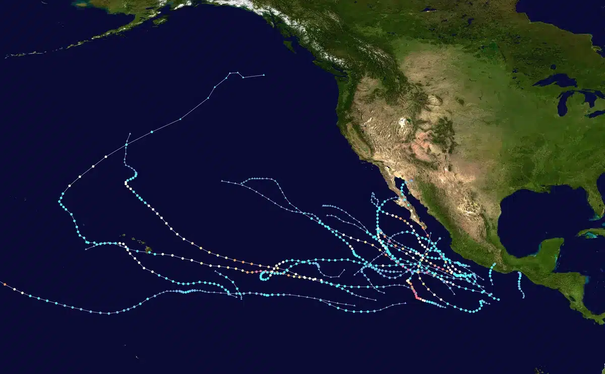
As of August 31, Karina was positioned approximately 1,000 miles southwest of the southern tip of Mexico’s Baja California Peninsula and was moving northwest, according to multiple sources including PBS NewsHour. Forecasters confirmed the storm poses no immediate threat to land, as its forecast track keeps it well offshore and farther into the Pacific.
While Karina remains far from populated areas, its effects will still reach coastal populations. The National Hurricane Center warned that swells generated by Karina will begin to affect portions of the coast of southwest Mexico and the Baja California Peninsula, likely causing dangerous surf and rip current conditions over the coming days.

The 2026 Eastern Pacific hurricane season has been active. Earlier in July, Hurricane Genevieve became the first Category 5 hurricane of the season before weakening. Karina’s rapid intensification adds to a pattern of increasingly dynamic storm behavior observed this year, though forecasters emphasized that while the storm will continue to strengthen over the next 1-2 days, it will remain well away from any landmass.
Sources
- Fox Weather — Reported Karina’s intensification to Category 4 with 145 mph winds
- ABC News — Documented rapid intensification within hours fueled by warm waters
- National Hurricane Center (NOAA) — Provided location, wind speeds, forecast discussion, and coastal impact warnings
- PBS NewsHour — Confirmed current position and offshore track
- Climate Central — Provided context on rapid intensification rates and warm water thresholds