
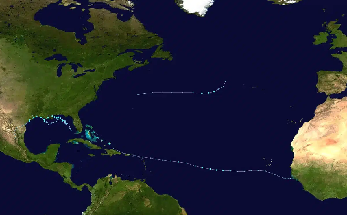
Tropical Storm Edouard made landfall near Johnson Bayou, Louisiana, on September 1 at 2:20 p.m. CDT with maximum sustained winds of 60 mph, marking the fifth named storm of the 2026 Atlantic hurricane season. The National Hurricane Center said the storm did not reach hurricane strength before crossing the coast, though forecasters had earlier warned it could approach that threshold.
The primary threat from Edouard is heavy rainfall and flash flooding across the upper Texas coast and southwestern Louisiana. The National Hurricane Center forecast rainfall totals of 3 to 7 inches across the region, with up to 12 inches possible in isolated locations. At one point in Port Arthur, Texas, rain was falling at an estimated rate of 6 inches per hour, and a radar analysis by the National Weather Service detected a thunderstorm near Opelousas, Louisiana, producing rainfall rates of 5 inches per hour.

Storm surge of 1 to 3 feet above ground level is possible along portions of the coast, with more significant surge between High Island, Texas, and the Vermilion/Cameron Parish line, where 3 to 5 feet is forecast. The deepest water will occur along the immediate coast near and to the right of the storm’s center, accompanied by large waves.
The slow forward speed of Edouard heightened the flooding risk. The storm was moving northwest at 7 mph, allowing rainbands to repeatedly move over the same areas—a phenomenon meteorologists call “training”—that can produce excessive rainfall in susceptible locations. The Houston metro area, which is historically flood-prone, faced a flood watch through Wednesday morning, with the highest risk of heavy rain along and east of Interstate 45.

As Edouard moved inland over southeastern Texas, it brought widespread impacts. At least 20,000 power outages were reported in Jefferson County by early evening, and the National Weather Service upgraded flash flood warnings for the Nederland and Port Arthur areas due to ongoing heavy rain. Wind gusts of 60 to 67 mph were reported in Jefferson County, creating a hazard to structures; forecasters warned that winds could cause damage to porches, sheds, and unanchored mobile homes, snap trees, and cause scattered power outages.
The tornado threat also increased, particularly in southwestern Louisiana. The National Weather Service noted that conditions were becoming more favorable for tornadoes during the day on September 1, with a slight jog in Edouard’s track putting western portions of Calcasieu Parish more directly into the storm’s path. A tornado-warned storm had moved through Glenmora, Louisiana, around noon local time.
Edouard was forecast to weaken to a tropical depression overnight and dissipate by Wednesday, September 3, but the National Weather Service in Houston warned that heavy rainfall and flash flooding would remain the primary threats through the evening and into the next day. Schools across southeast Texas canceled classes to keep students and staff off roads during the storm’s peak impacts, and motorists were urged to avoid flooded roadways, which are a common cause of deaths during heavy rain events.
Sources
- USA Today — Tropical Storm Edouard’s landfall location, time, wind speeds, rainfall forecast, storm surge forecast, power outages, and post-landfall trajectory
- National Hurricane Center (NOAA) — Official landfall details, wind data, rainfall and storm surge forecasts, and future dissipation timeline
- NBC News — Rainfall totals and regional impacts
- Fox Weather — Storm surge forecasts for specific coastal areas
- KBTX — Landfall confirmation and inland movement details