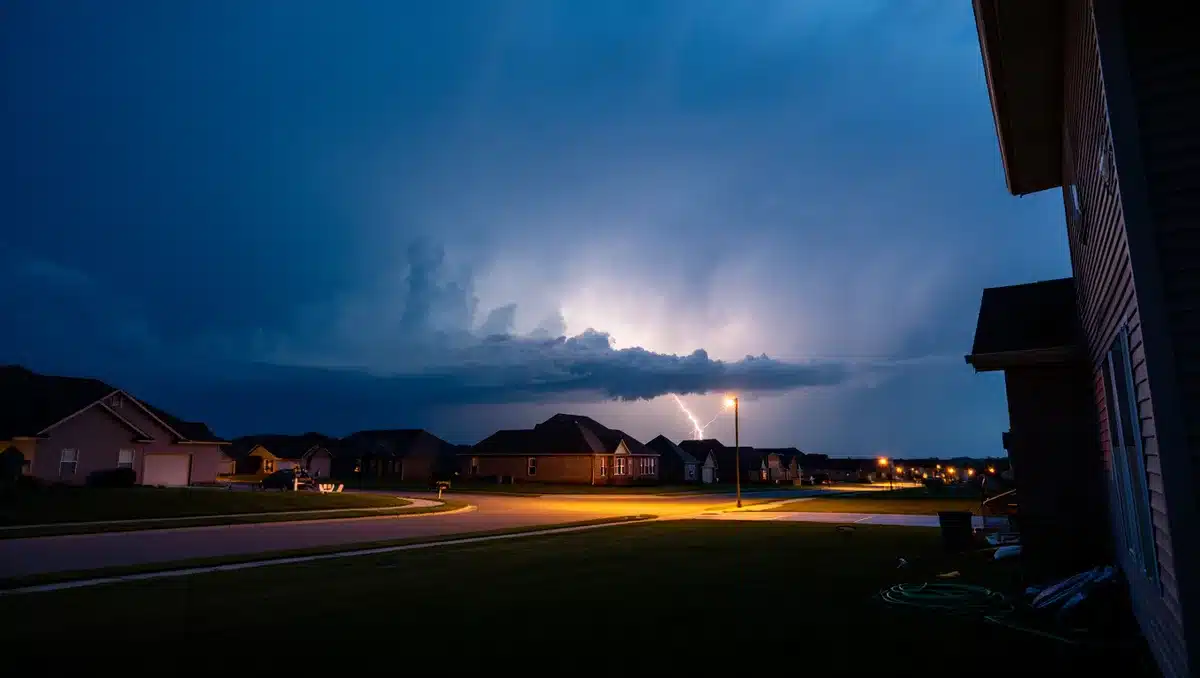
Thunderstorms are expected to move into Memphis tonight, with most of the rain falling after midnight as the region transitions from a heat-dominated week into a much cooler weekend pattern, according to the First Alert Weather team. High temperatures will drop into the pleasant 80s on Saturday and Sunday, offering relief from the extreme heat that has gripped the Mid-South.
The thunderstorms developing late tonight will bring scattered showers and heavier rain between midnight and early morning, with a 50 to 60 percent chance of precipitation, according to multiple weather forecasts. Wind gusts and heavy downpours are possible, though conditions should clear considerably by daylight hours on Friday.
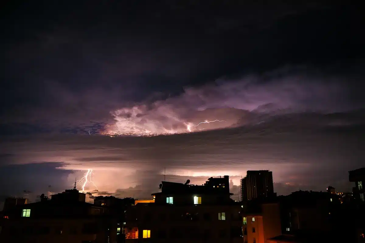
Summer thunderstorms in the Memphis area are a common occurrence during July and August, driven by the strong daytime heating that builds atmospheric instability. According to the National Weather Service and local climate data, afternoon and evening thunderstorms frequently develop across the Mid-South during summer months, with June through August being the most active period for thunderstorm activity. The intense sunshine rapidly heats the ground and the air above it, creating the conditions necessary for storm development, particularly when moisture is abundant.
The timing of this weekend’s cooler pattern represents a significant break from the recent extreme heat. Earlier this week, heat indices surged above 105 degrees across portions of the region, with some forecasts indicating heat index values as high as 113 degrees. The arrival of lower humidity and temperatures in the 80s will provide the first substantial relief in over a week, according to meteorological forecasts.

Looking ahead into early August, the cooler pattern is expected to persist through the weekend, though scattered thunderstorms may return during the first half of August as the region transitions back toward warmer conditions. The Long-Range Weather Forecast indicates scattered thunderstorms and warm conditions from August 1 through August 13, suggesting that the current cool spell will be temporary.
Residents should monitor travel weather alerts and local forecasts as thunderstorms develop tonight, as heavy rain and gusty winds can impact outdoor activities and travel conditions in the hours after midnight. The First Alert Weather team recommends staying weather-aware during the overnight period and being prepared for the rapid transition from summer heat to a more comfortable weekend.
Sources
- Action News 5 / First Alert Weather — Thunderstorms tonight with most rain falling overnight; pleasant 80s for the weekend forecast
- National Weather Service Memphis — Marginal risk for severe thunderstorms; summer thunderstorm climatology and activity patterns for June–August
- Weather.gov Memphis — Current weather conditions and severe weather information
- Fox 13 Memphis — Weekend forecast with cooler temperatures in the 80s and humidity relief