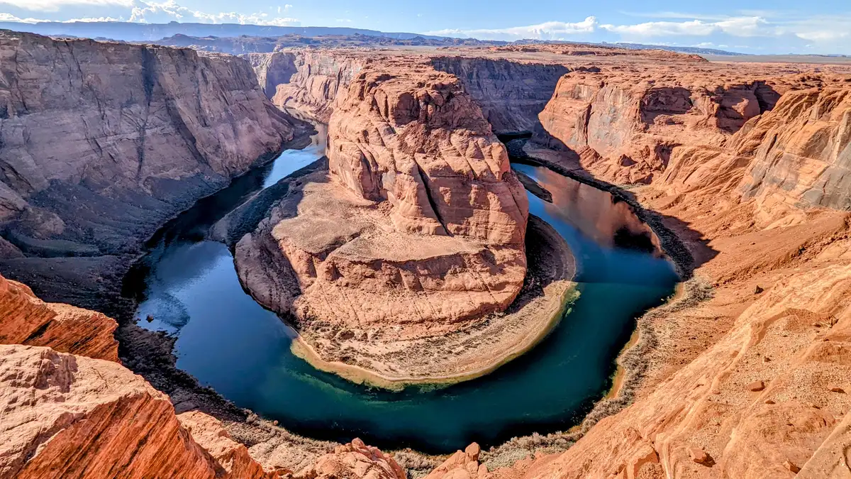
The U.S. Department of the Interior finalized new operating rules on August 21 for the Colorado River, requiring the Lower Basin states of California, Arizona, and Nevada to cut water use by 1.25 million acre-feet annually through 2028. The mandatory reductions mark the federal government’s most aggressive intervention yet to stabilize two of the nation’s largest reservoirs as the region faces historic drought.
Under the plan, Arizona will absorb the deepest cut at 760,000 acre-feet per year, followed by California at 440,000 acre-feet and Nevada at 50,000 acre-feet. The allocation reflects Arizona’s historically larger share of Colorado River water and its reliance on the river for agriculture and urban supply.
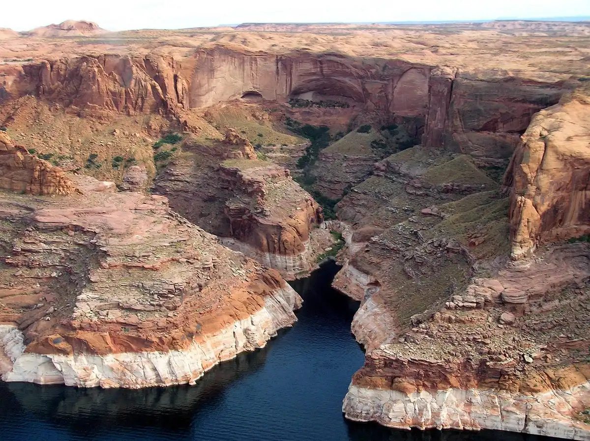
The cuts come as both Lake Mead and Lake Powell have plummeted to record lows. Lake Mead dropped to 1,040.5 feet in August 2026, below the previous record low of 1,040.58 feet set in July 2022. Lake Powell similarly hit its lowest elevation since the reservoir was built, raising alarms about the viability of hydroelectric power generation that supplies nearly 6 million households and businesses.
The crisis stems from a mismatch between supply and demand that has widened for decades. A 1922 Colorado River Compact allocated 7.5 million acre-feet to each the Upper Basin states (Colorado, Utah, Wyoming, New Mexico) and the Lower Basin states. Since 2020, however, the river has averaged just over 10 million acre-feet annually. Climate change has worsened the shortfall: average flows since 2020 have dropped 32% compared with the prior century, as warming temperatures accelerate snowmelt evaporation and thirsty soils absorb more water.
The new federal plan is a two-year stopgap designed to protect critical infrastructure while states negotiate a longer-term solution. A broader 10-year blueprint allows for cuts reaching up to 3 million acre-feet annually—roughly 40% of the Lower Basin’s total supply—if conditions deteriorate further. The framework also incentivizes voluntary conservation from the Upper Basin states through a credits mechanism, targeting up to 200,000 acre-feet in savings.
Experts warn the cuts may prove insufficient. Noah Garrison, a water researcher at UCLA’s Institute of the Environment and Sustainability, said the plan “just kicks the can down the road” and leaves stakeholders “locked in endless negotiations.” He cautioned that the strategy puts “the water supply for 40 million people at risk.” Dr. John Berggren, regional policy manager at Western Resource Advocates, added that “pretty significant shortages” and further reductions will be necessary to stabilize the system.
The plan has drawn criticism from affected states. California’s Colorado River commissioner, JB Hamby, called it “a bridge, not a permanent solution,” arguing that the three Lower Basin states should not bear the entire burden. Arizona Governor Katie Hobbs and Nevada Governor Joe Lombardo have both signaled they may challenge the plan in court, raising the prospect of interstate litigation that could delay decisions for years.
The crisis was triggered by a convergence of factors in 2026: a devastating snow drought reduced snowpack to 60% of the 30-year average, while an extreme spring heatwave accelerated evaporation. At the start of summer, Lake Powell hovered just 37 feet above the level where Glen Canyon Dam would cease generating hydroelectric power—a scenario experts call a “deadpool” that would be catastrophic for the entire region.
When the federal government imposed cuts in 2022 and 2023, Lake Powell had fallen below 3,525 feet for the first time in decades. That precedent showed how quickly water levels can destabilize when inflows remain depressed. Even if favorable weather—such as a strong El Niño winter—brings above-average precipitation, researchers say it would only buy time, not resolve the underlying imbalance between allocated rights and available supply.
More than 70% of Colorado River water supports agriculture, including water-intensive crops like alfalfa and hay that feed livestock, as well as much of the nation’s winter lettuce and leafy greens. Urban areas including Los Angeles, Phoenix, and Las Vegas, along with dozens of Indigenous tribes, also depend on the river. The economic activity supported by Colorado River water exceeds $1.4 trillion annually.
Negotiators from all seven basin states remain at an impasse over how to distribute deeper cuts needed to bring the system into balance. The federal plan provides a framework for managing the next two years, but stakeholders acknowledge that a durable solution requires agreement on reductions that span the entire basin—a consensus that has eluded them for three years and counting.
Sources
- U.S. Department of the Interior — finalized operating rules for Lake Powell and Lake Mead in 2027 and 2028, requiring 1.25 million acre-feet in annual reductions to Lower Basin states; state-by-state allocation details.
- The Guardian — expert commentary from Noah Garrison (UCLA) and Dr. John Berggren (Western Resource Advocates); context on the 1922 Compact, drought mechanisms, and the 10-year framework; state reactions and litigation concerns.
- CNN — Lake Mead record low water level of 1,040.5 feet set in August 2026.
- Colorado Sun — federal plan announcement and state responses; Colorado spared from mandatory cuts.
- AP News — overview of the federal plan and the 1.25 million acre-feet reduction requirement.
- U.S. News & World Report — combined Lake Mead and Lake Powell record-low water levels in August 2026.
- Congressional Research Service — historical context on Lake Powell falling below 3,525 feet in 2022 and 2023.
- Arizona Governor’s Office — Colorado River consumptive use in 2025 at 5.75 million acre-feet, lowest since 1983.