
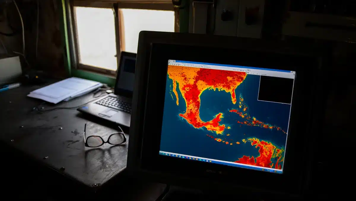
El Niño is set to strengthen through the end of 2026, with the National Oceanic and Atmospheric Administration raising the odds of a very strong event to 81%, up from 63% in its June outlook. The shift reflects unprecedented ocean heat already building across the tropical Pacific, signaling what could become one of the strongest El Niño events on record.
NOAA forecasters now expect the El Niño to peak in October 2026 and persist through spring 2027. The agency’s growing confidence is being driven by extreme ocean temperatures across the Pacific, with some pockets of warmth reaching nearly 3 degrees Celsius above average and extending nearly 1,000 feet below the ocean surface, according to the July 9 update from NOAA’s Climate Prediction Center.
One particularly notable sign has emerged in the eastern Pacific, where a normally persistent zone of colder upwelled water—known as the “cold tongue”—has largely disappeared earlier than expected. Scientists say that kind of warming typically occurs later in the development of major El Niño events and may signal that the system has room to intensify further during the second half of the year.

El Niño is a naturally occurring climate pattern characterized by warmer-than-average sea surface temperatures in the central and eastern tropical Pacific Ocean. When unusually warm water settles off the western coasts of Mexico and South America, the moisture and energy released into the atmosphere can profoundly change regional weather patterns across the globe. NOAA declares an El Niño when temperatures in the equatorial Pacific are 0.5°C above average for several consecutive months and when the Walker Circulation—a massive east-to-west air flow driven by temperature differences between warm western and cool eastern oceans—breaks down, allowing warmer water to shift eastward.
For California and the broader U.S. West Coast, a stronger and longer-lasting El Niño raises the likelihood of a wetter winter, increased flooding risks, more dangerous surf conditions, and potentially significant economic impacts. Historically, strong El Niño events tend to tilt the odds toward wetter-than-normal conditions across much of California, especially in Southern California and portions of the Central Coast. However, experts caution that El Niño shifts the odds toward certain outcomes rather than guaranteeing them.
A particular concern is the Sierra Nevada snowpack. While El Niño often boosts overall precipitation, it can bring warmer storms that produce more rain and less snow in the mountains. Snowpack acts as a slow-release water storage system, melting gradually during spring and summer. Heavy winter rainfall may quickly fill reservoirs, but reduced snow accumulation can create water-supply challenges later in the year—what water experts describe as California’s climate “whiplash.”
The economic stakes are substantial. Research cited in the Desert Sun analysis found that the 1982-83 El Niño resulted in roughly $4.1 trillion in global losses, while the 1997-98 event generated about $5.7 trillion in economic damage and lost productivity. Costs extend well beyond immediate disaster damage and include agricultural losses, transportation disruptions, supply-chain interruptions, lost worker productivity, and higher food prices. Dartmouth climate researcher Justin Mankin has warned that current forecasts suggest this event could become the most expensive El Niño on record if it reaches projected strength.

During the powerful 2015-16 El Niño and accompanying marine heat wave, warming seas contributed to major seabird die-offs, shifts in fish populations, and widespread sea lion strandings along the West Coast. Scientists are not forecasting a repeat of those impacts for 2026, but they say that elevated ocean temperatures, combined with El Niño conditions, warrant close monitoring. Warmer Pacific waters can push species northward, including juvenile great white sharks that typically spend more time in warmer waters off Mexico—a shift that has already prompted new fishing restrictions intended to reduce shark interactions near California beaches.
Beyond weather, a powerful El Niño could disrupt marine ecosystems and trigger disease outbreaks. Forecasters also expect an active Pacific hurricane season fueled by exceptionally warm ocean temperatures. While most tropical systems are projected to stay well offshore, they can still produce large, long-period swells that travel hundreds or even thousands of miles across the Pacific, creating powerful rip currents, sneaker waves, and coastal flooding during high tides.
Sources
- Desert Sun — NOAA’s July 9, 2026 update raising very strong El Niño odds to 81%, expected peak in October, ocean temperatures, historical economic impacts, and California weather impacts
- NOAA — June 11, 2026 news release on El Niño formation, mechanism (Walker Circulation), 63% probability of very strong event, and typical U.S. weather impacts
- Journalists Resource — Research on El Niño economic impacts, 1982-83 and 1997-98 precedent, marine ecosystem disruptions, and expert commentary from climate researchers